3D property scanners are helpful in identifying the conditions of the site in-depth. Besides, it helps engineers and construction experts to make measurements more accurate. But what is included in a typical 3D property scan? Let’s find out.
What Are 3D Property Scans?
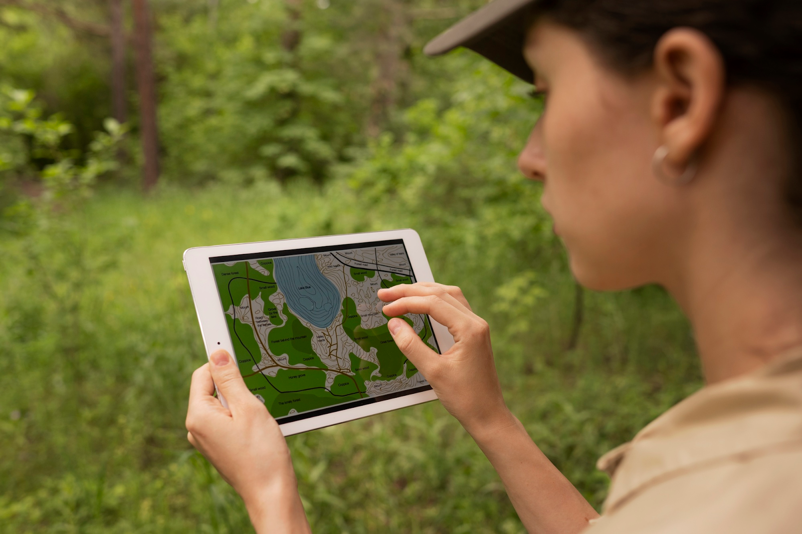
A 3D property scan is an advanced technique for assessing a site or location. In the context of site assessment, a 3D property scan can be used to increase accuracy and efficiency, which helps in the visualization of the area. It also helps in identifying layers in the land where possible pollutants can be found.
Overview of 3D Scan Technology
Different types of technology are used in 3D property scanning. These include:
- LiDAR: Light Detection and Ranging, or LiDAR, is a type of remote sensing technique used in 3D scanning. It emits laser pulses to get detailed topographical information. Furthermore, LiDAR also creates high-definition Digital Elevation Models (DEMs) that are used for mapping sites and different terrains.
- Photogrammetry: This is an advanced technique used in 3D Scanning, which helps to create digital 3D models by capturing multiple overlapping photographs. This technology is also used in 3D scanners, which are effective in environmental site assessment.
How 3D Scanners Capture 360° Digital Twins of Properties
3D Scanners capture 360-degree digital twins of the properties, and the raw data is collected using the visuals of the 3D scan. For property site scanning, 3D cameras are used to take a 360-degree image, which helps in creating a digital twin of the properties or the property sites that can be explored from any device.
Key Benefits of 3D Scans in Site Assessments
A 3D property scan is the most effective way to capture site data, and it provides benefits over conventional survey methods. Here are some of the key advantages of site assessments using 3D scans.
Better Accuracy of Data
A 3D scanner can capture infinite 3D data points by measuring with millimeter precision, covering every inch of the assessment site from all of the available angles. This method provides an extremely accurate 3D point of the site and can help in understanding the layout and areas more effectively.
High Speed Surveying
The conventional method of site assessment and survey can take up to hours and even days to comprehensively survey the plot. Moreover, it cannot always be effective to accurately measure difficult areas where human accessibility is impossible. A 3D property scan can help with surveying the entire property with increased speed and accuracy. Furthermore, it reduces the risk of climbing up the ladder and potential delays. This way, you will never miss the deadline of your project.
Effectiveness and Resourcefulness
3D scanning property is also crucial, considering its ease of accessibility. Furthermore, it is also becoming a cost-effective option for the project developers for assessing the site in one go. Compared to the traditional site assessment methods, you do not have to take one measurement every single time, as you can take millions at once.
One 3D laser scan of the property is conducted within a few minutes. Plus, depending on the size of the site and advanced equipment, the 3D property scan can be finished within a fraction of the time.
Real-World Applications
3D scanning for property can help in different functions and save a lot of time. From real estate sales to construction planning and environmental site assessment, 3D property scanning has a key role in everything.
Real Estate Sales
In the real estate industry, 3D scanning of the property can enhance the sale of real estate through delivering immersive virtual tours, which can help in streamlining the sale process. 3D scans can also be used to develop virtual walkthroughs for potential buyers.
Construction Planning
3D property scanning can also be used in construction planning by delivering accurate digital representations of existing structures. It enables project planning and monitoring to be precised and helps in proper documentation of the project.
Environmental Site Assessment
It also helps in assessing the external environment around the site, which includes the terrain and the adjacent geological forms. Plus, it also helps in monitoring the environmental impact of the area, highlighting how the environment has been affected by the industries. It can also assess the amount of soil sediment in the site.
Wrapping Up
3D property scan has helped in delivering fast and accurate scanning, which has been key in site assessment. It is a collaborative tool that helps in reducing costs and enhancing client confidence over the project. 3D property scans have set a new standard for the site assessment, connecting technology with real-world property management.
Consult Professional Site Assessment for 3D scanning your Project Site!
Want your project site to get assessed efficiently? Consult a professional site assessment company for 3D property scanning, which can help in streamlining your project.